|
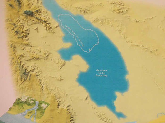
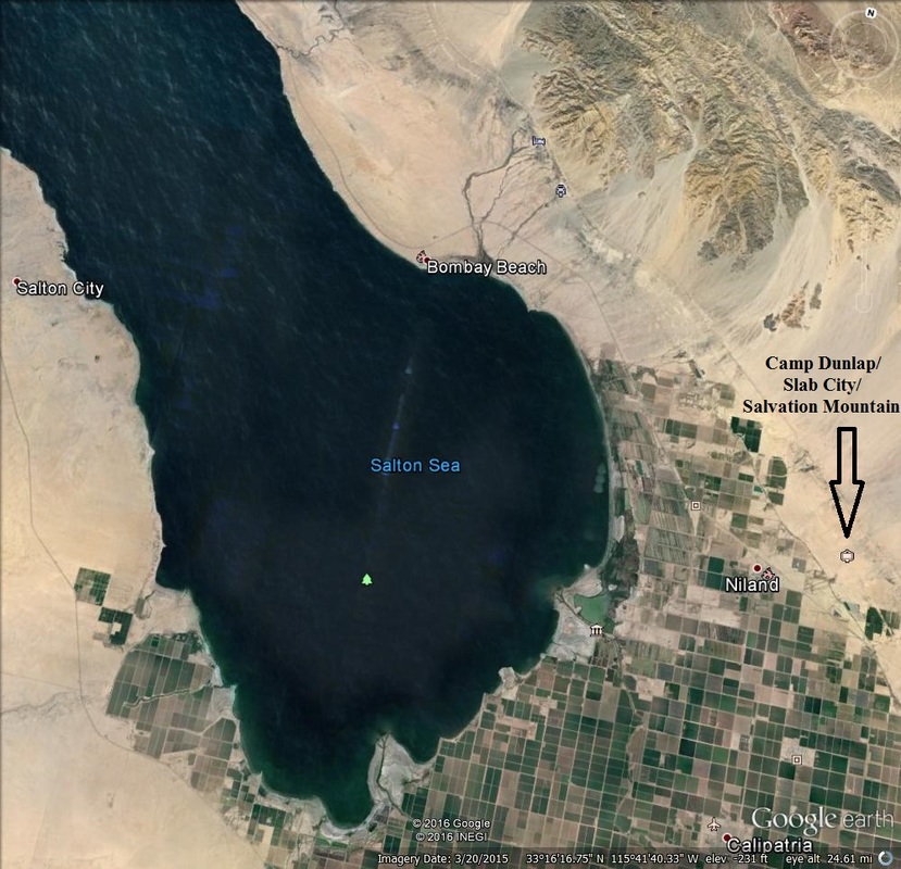
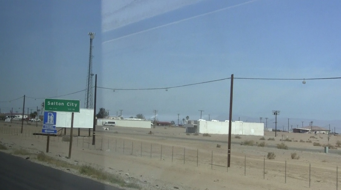
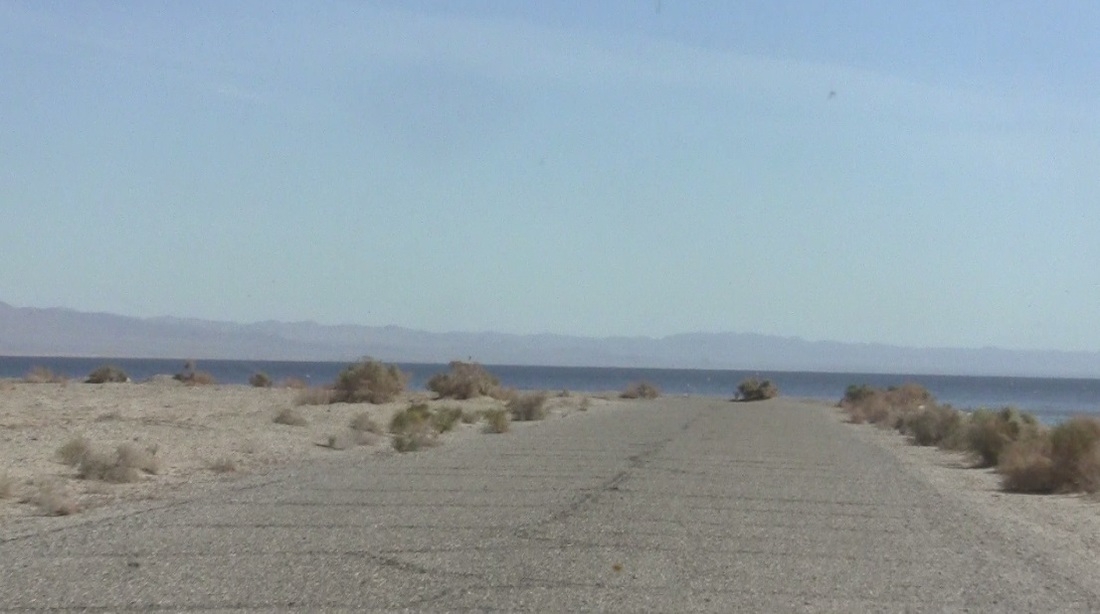
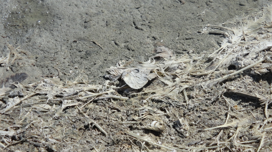
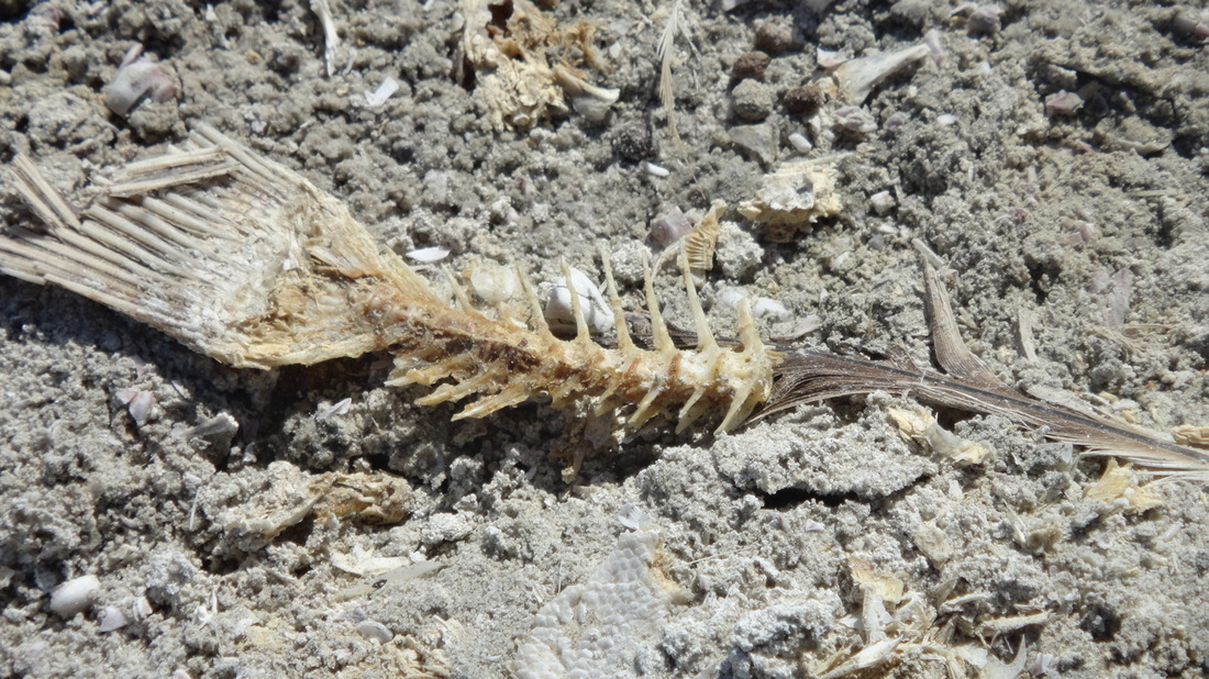
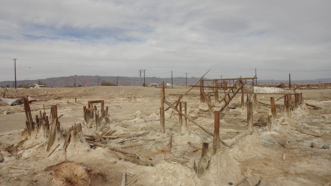
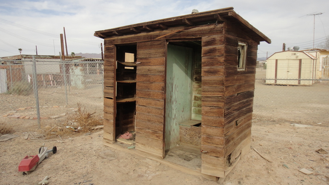
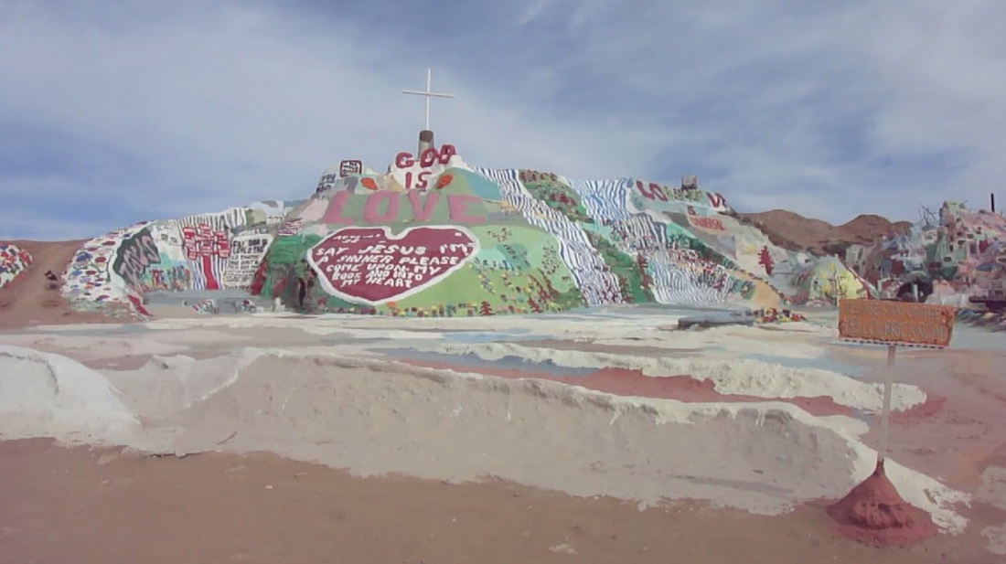
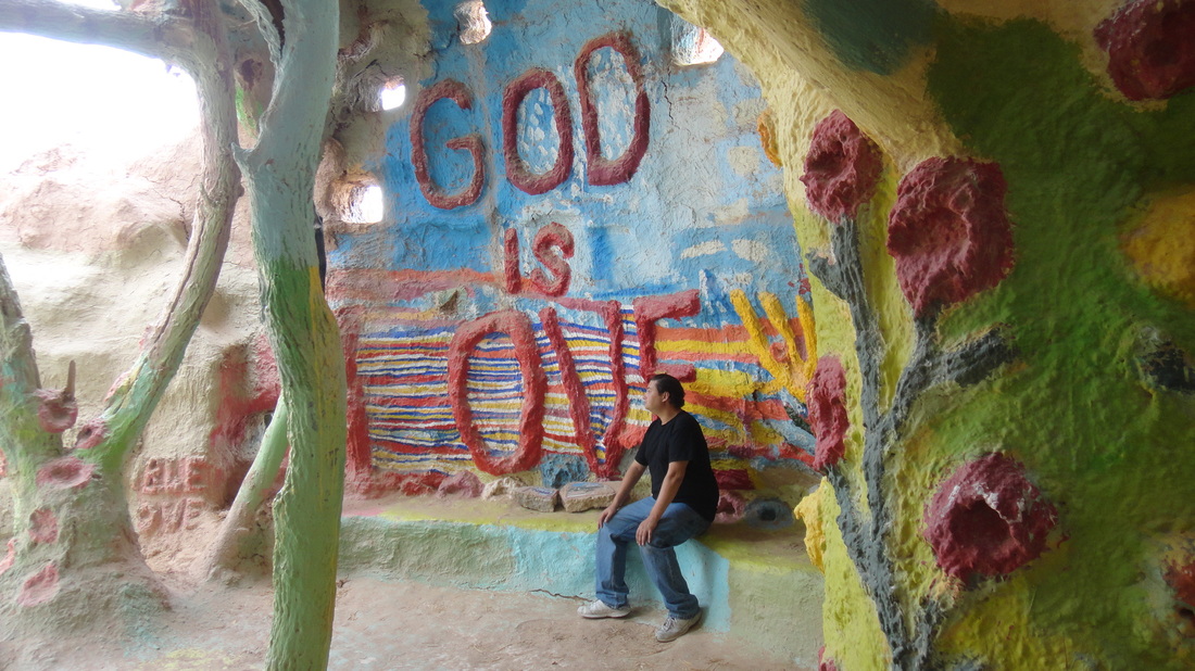
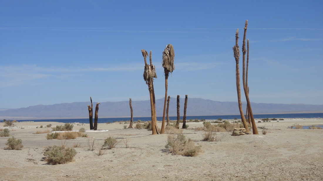
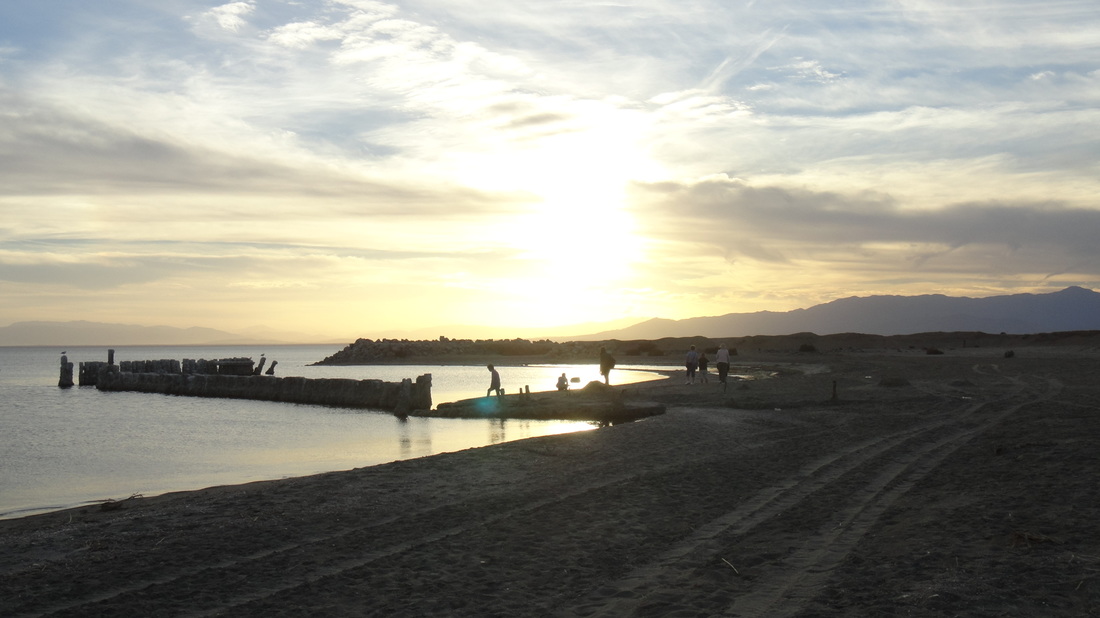
The Salton Sea lies right over the San Andreas Fault line. That is the fault line that separated the Pacific and North American plates. Thirty Million years ago, the Pacific and North American tectonic plates met. This didn’t stop the land from grinding with each other, and as Pacific plate continued to shift upwards, it ripped a rift valley, separating Baja California from the Mexican mainland. This rift then filled with ocean water, creating the Gulf of California. That gulf used to extend through the Salton sink, all the way up to Palm Springs. East of the Salton sink, the Colorado River emptied into the vast California gulf. With the river water, sediment would be carried down, filling the land south of the Salton sink and creating two river deltas that would switch back and forth randomly. This cut the gulf of California into a smaller gulf and a large called Lake Cahuilla, which would periodically fill and dry from time to time, leaving deposits of salt on the sand. The lake last dried up between the years 1500 CE and 1600 CE, and the remaining dried lake bed was subsequently found by Spanish Conquistadors and named the "La Palma de la Mano de Dios," or the "Hollow of God's Hand". In 1848, Gold was discovered in San Francisco and by 1850, the California gold rush began and soon the population soured to 300,000. California also became a state that year. By 1855, the gold rush was over – or so they thought. In 1869, dead smack in-between the old town of San Diego and the Salton Sink, gold was discovered in Julian and there was another rush. On the way over to Julian, miners would pass the sink, and it wasn't long before people began settling there to mine salt. Farms soon appeared and towns began to pop up, including the town of Salton. To help bring more water to the area, officials built the Imperial Canal, which brought water from the Colorado River to the Imperial Valley in order to grow crops, blocking the delta that would fill the sink. In 1905, Silt began to block the Imperial canal, so the river was temporarily diverted to fix it, filling the Salton Sink with water. The canal took two years to fix before the water was diverted back. When it was, a large artificial fresh water lake the size of Lake Tahoe was left, and the town of Salton had been completely submerged underwater, and things stayed that way for a while. During this time, in 1907, Imperial County was cut out of San Diego County. People originally thought that the sea would eventually dry up, but when it didn’t, they began to find other opportunities there. In 1942, during WWII, the military opened a Naval and a Marine base there. On the Naval base, west of the sea, they would fly secret missions from a base in Nevada over the Salton Sea; dropping dummy atomic bombs into the water (I want to go and retrieve a free dummy atomic bomb). The Marine base on the east side was called Camp Dunlap. By the early 1950s California Department of Fish and Game began stocking the sea with fish from the Gulf of California and a number of towns began to pop up. The population grew, and the Salton Sea soon became a beach resort community. Not needing anymore use for the land, the Marine base was dismantled in 1956, leaving only the stone slabs used as a foundation. Right next to the Naval Base, Salton City was mapped out and established in 1958. The Government gave the land back to the State of California in 1961, and development began. A Marina was soon built. Roads were paved and named, lots set aside for sale, waiting for people to buy and build their dream homes on. Sewage, water, and power lines were installed. There was even a large plot of land void of any streets next to the beach. Could it have been what remains of the planned 18-hole golf course, perhaps? On the other side of the sea, Bombay Beach and a Yacht club emerged. Back at the abandoned Marine base, chemical plant workers who were hired to harvest creosote leaves, moved into the abandoned area, living in trailers and buses and giving birth to Slab City. By 1965, more people migrated to the area. What the residents and developers didn't realize at the time was that the chemicals fertilizers used in the farm lands surrounding the area was running off into the sea. The salinity content in the water jumped. This caused an enormous amount of algae to form, which consumed the oxygen in the lake while expelling hydrogen sulfide gas. This gas is dangerous and it turned the water poisonous, killing millions of fish. The dead fish would float to the surface, or be washed ashore where birds would eat them, and also die. The water became stale and salty; the fish and bird corpses left the resorts smelling terrible. When their flesh rotted, their bones began to break up and disintegrate. This happened continuously for years until the beach was bleached white with bones and calcium dust almost completely covering the sand and stone. By the end of the sixties, people began to abandon the towns around the sea. Maintenance stopped, and the elements began to reclaim the land. Entire neighborhoods of paved communities were never built. In the mid-70s, with the sea level rising, the small naval base there was finally abandoned, and in the 80s turned into a firing range, with all of the old buildings being destroyed by live test fire. Also in the early 1980s a homeless veteran name Leonard Knight came to the area and began building a makeshift religious monument near Slab city out of straw, cement, and paint. After spending a decade building it, his monument dubbed Salvation Mountain, was completed. Authorities weren’t too happy about it at first and wanted to tear it down, because it was a religious memorial on state property, and nobody was paying them for the land. However, by then Knight had gained many friends and helpers over the years there who signed petitions to save it from destruction. In 2014, I visited the area with my friends. It was an interesting trip to areas I had never seen before. Though the run down neighborhoods and dead fish skeleton beaches were a bit of a bummer, Salvation Mountain, and watching the sunset from Bombay Beach were unforgettable experiences. Unfortunately, Knight passed away a few days before I arrived at Salvation Mountain, so I wasn’t able to meet him. Instead, I met a rude photographer who was yelling at a couple of females for hiking Salvation Mountain outside of its yellow paint trail. When I asked for information on Knight's funeral services, he rudely pointed me to an empty booth and went about his business. Asshole. Still, it didn’t ruin my day and someday, it will make a great video special.
0 Comments
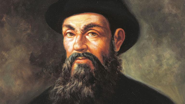
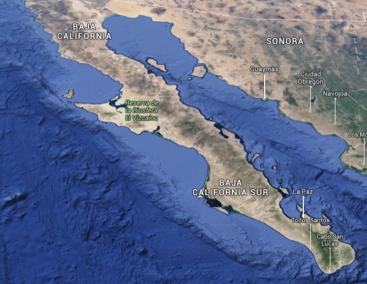
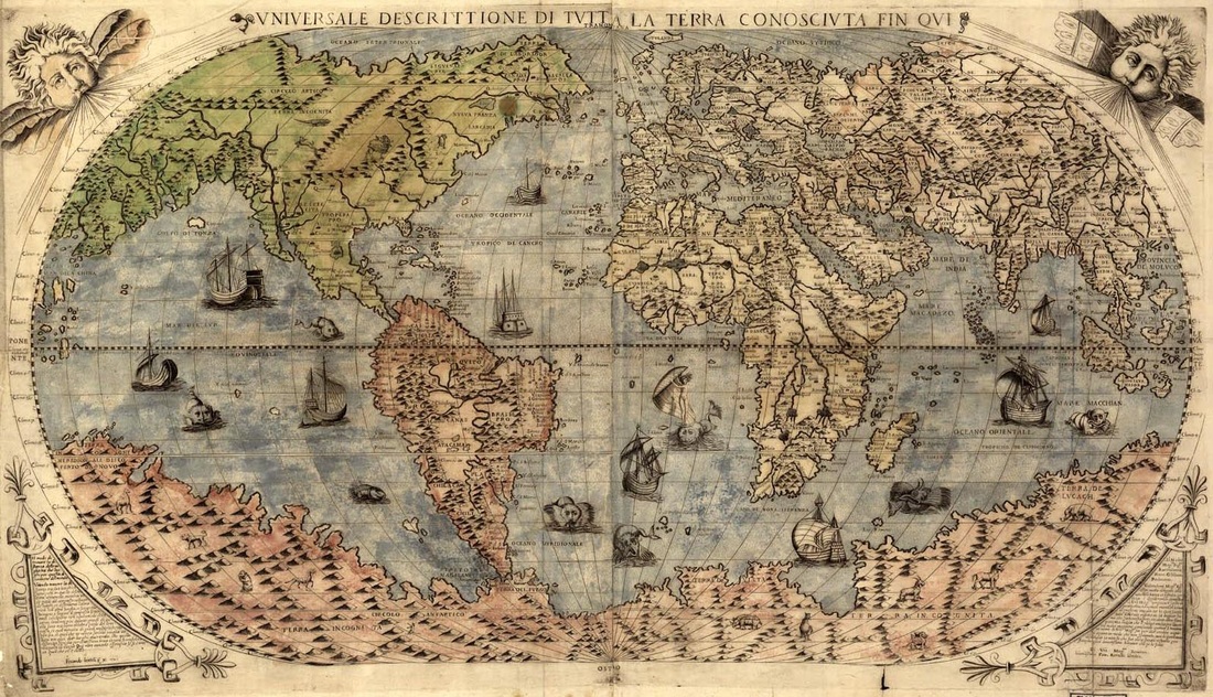
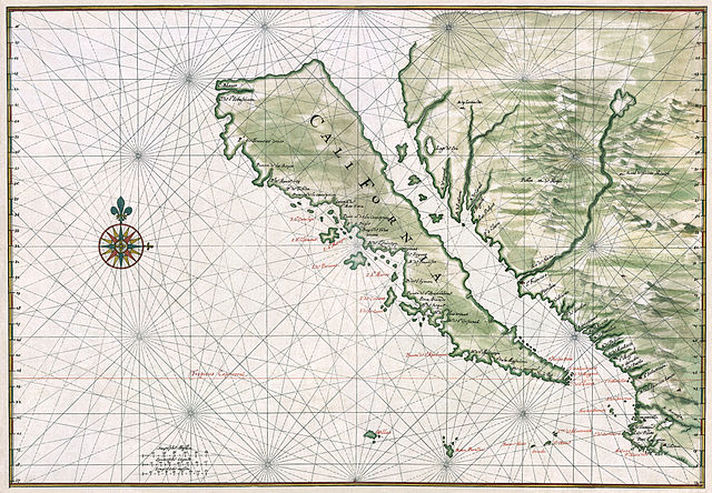
Tying up loose ends... During the Conquest of Mexico, Ferdinand Magellan was on his own expedition. He sailed under the tip of South America, crossed into the South Sea and upon realizing how much calmer it was than the stormy seas he had just left, renamed the South Sea to “Mar Pacifico”, or the Peaceful Sea. Today's Pacific Ocean. Magellan’s expeditions were the first to successfully circumnavigate the globe. 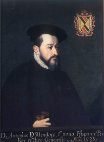 Antonio Medoza - From Wikipedia Antonio Medoza - From Wikipedia After the fall of Tenochtitlan, Cortes was granted governorship of the newly dubbed Mexico City, but he wasn't trusted enough to become its Viceroy, instead, the title of Viceroy was given to one of Cortes' rivals, Antonio de Mendoza. By 1525, Cortes had executed Cuahtémoc, the last Aztec King, and was fighting in the region of Honduras to expand his control. By now, he and his translator, Malintzin begin having babies and his deeds were honored by the King of Spain, who gave him his own Coat of Arms. Alverado founded the city of Santiago before helping Cortes conquer more lands and right along side them was Juan Rodriguez Cabrillo. Cabrillo was given a large plot of good grazing land and ownership of any natives living there, receiving his title in January 1529. He had natives pay him tribute in the form of grown foods and also had them working in gold mines, making him a rich man. 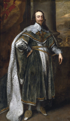 King Charles I of Spain - From WIkipedia King Charles I of Spain - From WIkipedia Meanwhile in Spain, the Spanish King Charles I was profiting greatly from all of the expeditions and conquests. They helped to solidify his rule, and convinced him of his mission to spread Christianity throughout the world. He also had an interesting idea: For some time, explorers had searched for a water passage through the American Continent in order to reach Asia, where a real profit could be made. But over 20 years’ worth of voyages had failed to find one. Charles had an interesting solution: If they couldn’t find a water passage through the Americas, perhaps they could try to build one: The plan was to construct a canal through the Isthmus of Panama. However, it was never started during the King's life time. In 1533, Cortés paid for a one ship expedition, in charge of searching for a previous expedition that was looking for a northwest passage through the Americas led by Diego de Becerra. But Becerra was killed in a revolt led by one of his crewman, Fortún Ximénez. They then landed in what they thought was an offshore island, but in reality, it was on an enormous peninsula. Ximénez himself, was soon killed by the natives of this "island" and the survivors of the voyage returned to Mexico City. Cortés, being told of the island, decided to check it out. Meanwhile, in 1534, Cabrillo took his ship, the San Salvador, on a voyage of trade. The trip helped pay for the construction of the new ship and trained the crew for future voyages. In 1535, Cortés set out on a voyage, arriving at present day La Paz and establishing a temporary colony there that he called Santa Cruz. 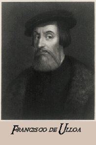 Francisco de Ulloa - From Wikipedia Francisco de Ulloa - From Wikipedia In 1539 Cortés paid for a three ship expedition up the Pacific Coast, hiring Francisco de Ulloa to lead it. Ulloa found the "island" coast on July 8th and named the waters between the lands the "Sea of Cortés", or the present day Gulf of California. Ulloa went up the west coast of the continent, and tried to sail up the peninsula but had to turn back due to strong winds. Once he returned however he was stabbed to death. Ulloa wasn’t well recognized for this feat at the time, because though he explored the peninsula as what it was... a peninsula and not an island, cartographers were still creating maps of the Americas depicting it as an island. After a Spanish priest boasted of seeing a golden city in North America, a land expedition of almost four thousand men set out February 23, 1540 from Compostela, Mexico headed by Francisco Vasquez de Coronado. Sailing the Sea of Cortés, they then rowed up the Colorado River, hoping that it led to a passage to the Atlantic, and also in search for the mythical city of gold. When they needed supplies, they would head to the nearest native village and demand supplies, which sometimes led to skirmishes between them and the natives. In turn, word of these skirmishes would travel all around the region through native trade routes until eventually reaching the Ipai and Tipai. To cover more ground, Coronado split his expedition in two; one to follow the Colorado River, and one to follow a native guide named “The Turk” who had bragged about seeing this city himself and had promised to show Coronado the way. Hearing of all these things, Viceroy Mendoza sent Hernando de Alarcón to verify the discoveries. He set out in 1540, completing Ulloa's voyage, and entering the Colorado river. In describing the land, Alarcón sarcastically referred to it as "California", after the mythical island in the famous book. Apparently the name stuck. 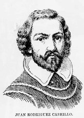 Juan Rodriguez Cabrillo - From Wikipedia Juan Rodriguez Cabrillo - From Wikipedia Meanwhile, Cabrillo was well off: Married with children and rich, but with more money came more problems. His land soon became the subject of disputes and eventually, lawsuits. He needed money, luckily he had connections. Alverado had decided to return to Spain to take care of some business and so commissioned Cabrillo to build a fleet of ships while he was away. After picking the place and getting the Viceroy's blessing, Cabrillo then focused his attention on building the small fleet of ships. 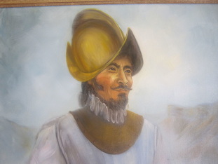 Coronado - From Wikipedia Coronado - From Wikipedia While Cabrillo was busy building ships, Coronado's team had failed in their expedition. When he finally reached his destination and looked upon what he thought would be a city of gold, he instead saw large clusters of native adobe pueblos. Boy was he mad! Wouldn't you? Before returning back to Mexico City, he had the Spanish priest sent home in disgrace, and had The Turk strangled. Coronado never found the golden city and returned to Mexico City in March of 1542 empty handed and facing possible war crimes. However, he did make it all the way up to modern day Kansas and the other part of his expedition “discovered” what would later be known as the Grand Canyon. Back in Spain, Charles I was traveling by carriage, when a man forced his way through a crowd of onlookers, demanding an audience with the King. Irritated by the nerve of the man, the King came out and demanded to know who this person was and what he wanted. He probably asked something like "Who do you think you are to demand my time?" to which the man may have replied, “I am a man who has given you more provinces than your ancestors left you cities”. The man demanding the King's attention was Hernán Cortés, and he had indeed left him more provinces than his ancestors did. Over the years however, lawsuits and claims had been piling up for Cortes and so he decided to return to Spain to defend himself, but nobody would listen to him. His last bet was to appeal directly to the King. Feeling sorry for Cortes, the King allowed him to join one last voyage headed by Andrea Doria to the Barbary Coast. Cortes would be dead by 1547 famous, but very bitter. Come back for Background History, Part Nine, coming January 15, 2015. Sources: Ferdinand Magellan: https://en.wikipedia.org/wiki/Ferdinand_Magellan
Hernan Cortes: https://en.wikipedia.org/wiki/Hern%C3%A1n_Cort%C3%A9s King Charles I: https://en.wikipedia.org/wiki/Charles_V,_Holy_Roman_Emperor Hernando de Alarcón: https://en.wikipedia.org/wiki/Hernando_de_Alarc%C3%B3n Juan Rodriguez Cabrillo: https://en.wikipedia.org/wiki/Juan_Rodr%C3%ADguez_Cabrillo Book: Juan Rodriguez Cabrillo by Harry Kelsey - http://www.amazon.com/Rodriguez-Cabrillo-Huntington-Library-Classics/dp/0873281764 My astrophotography seems to be improving. New Blog entry coming on the 31st, in the meantime, Happy Holidays!
|
Archives
March 2024
|

 RSS Feed